| | |
|  | 
Solano360, a 149 acre, 1.7 million square-foot mixed-use site approved specific plan located in the City of Vallejo, Solano County, California.
|
| USE2.png)
It's easy to engage and stay connected with the County when you connect to our social media platforms. Get started today.
|
|
| 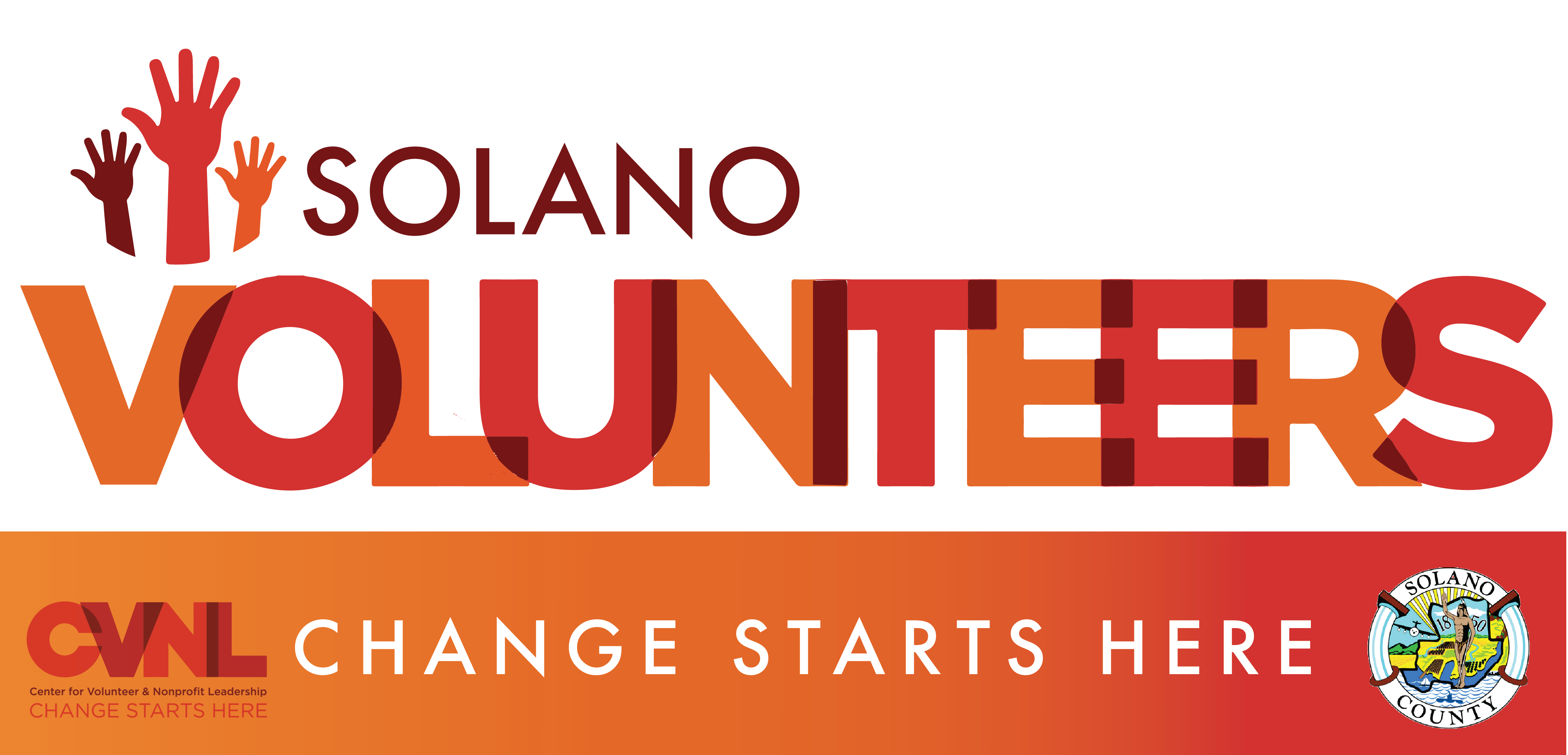
If you've ever considered becoming a volunteer, now is the time. Search hundreds of volunteer opportunities right here in Solano County. We'll help you find the right program so you can start making a difference today.
|
| |
| |
 | |  Solano County - Building on its campaign to inform the public about high overdose rates and the growing dangers of fentanyl cloaked as prescription drugs, Solano Public Health has launched its first "One Pill Can Kill" Video Contest. This initiative invites Solano County youth to create compelling videos that raise awareness of the risks of fentanyl-laced pills and promote healthier choices. Winning high school and college students can earn up to $1,500 for their efforts.
More... |
| SOLANO COUNTY – The Solano County Health & Social Services, Public Health division, will join communities worldwide to observe Sexually Transmitted Infections (STI) Awareness Week beginning April 14 through April 20, 2024. STI Awareness Week raises awareness about the global impacts of STIs, normalizes sexual health by reducing STI-related barriers of stigma, fear and discrimination, as well as increases access to quality STI prevention, education, testing and treatment. While certain populations are at higher risk for STIs, it can affect anyone regardless of age, race, ethnicity, gender or sexual orientation.
More... |
| SOLANO COUNTY – With measles on the rise nationally, and recent cases in neighboring counties, Solano County has joined Health Officers from the counties of Alameda, Contra Costa, Marin, Monterey, Napa, Santa Clara, Santa Cruz, San Benito, San Francisco, San Mateo, Sonoma and the city of Berkeley in urging everyone to be up to date on measles vaccinations and to watch for symptoms after travel or exposure. The best protection against measles is two doses of the MMR vaccine, which protects you for life. This is particularly important for anyone travelling internationally in the upcoming months.
More... |
| SOLANO COUNTY – Solano County is observing April 1-7, 2024 as National Public Health Week, a time to recognize the contributions of public health and highlight issues that are important to improve our nation. This year's theme is Protecting, Connecting and Thriving: We Are All Public Health.
More... |
| SOLANO COUNTY – World Tuberculosis Day 2024 commemorates Robert Koch's discovery of the tuberculosis (TB) bacterium on March 24, 1882. Recently, California has seen a resurgence of TB cases back to pre-pandemic levels. TB also continues to affect Solano County residents.
More... |
| |
| |
|        |
| |